


Flores is my Indonesia swan song – my last major trip in the archipelago nation before heading back to the U.S. I’m just barely staying true to Weekend Crossroad’s philosophy, as between its immense size and still developing infrastructure, Flores requires considerably more a long weekend to explore properly. However, those with time constraints can always choose a couple of highlights to enjoy, as illustrated in the following multi-part Flores series. Alternatively, one can choose to take an 8-10 day overland trip from Maumere to Labuan Bajo, which covers roughly two-thirds of the island.
This is Part four of eight. Check out Part one, Flores 101: How, When and Why to Go, Part two, Flores: Singing and Swaying in Sikka and Part three, Flores: Enjoying the Multicolored Regency of Ende.
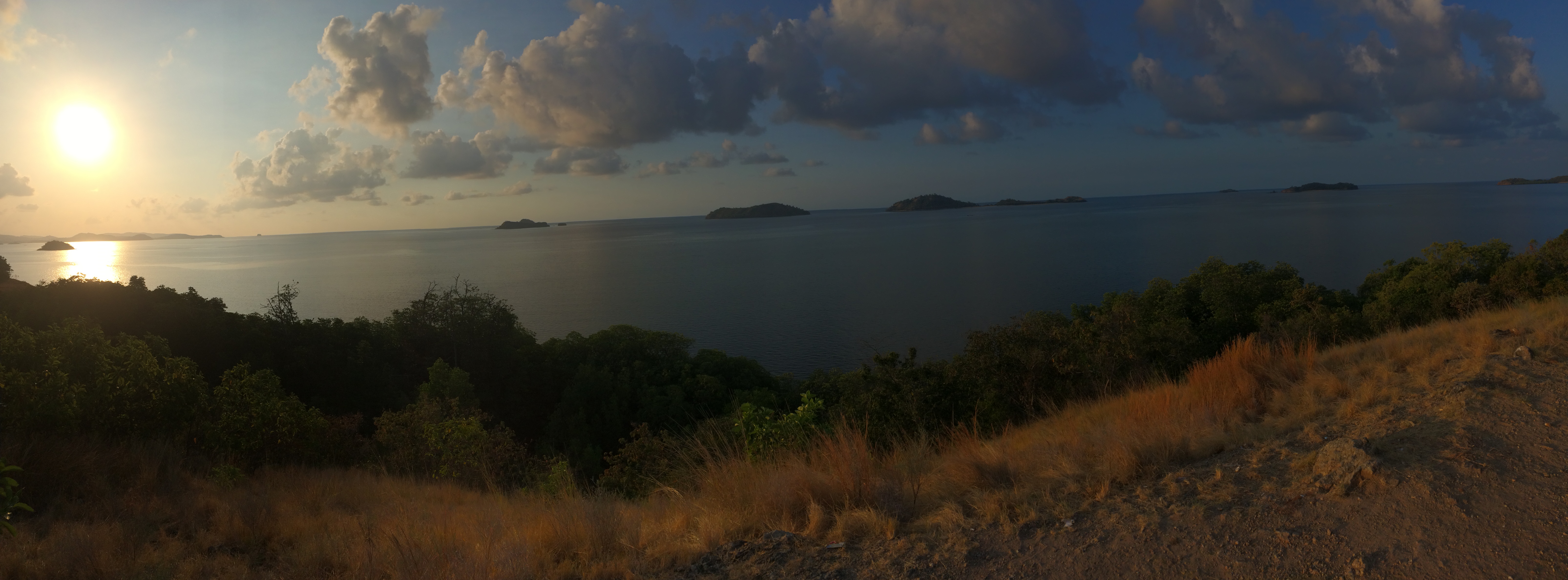
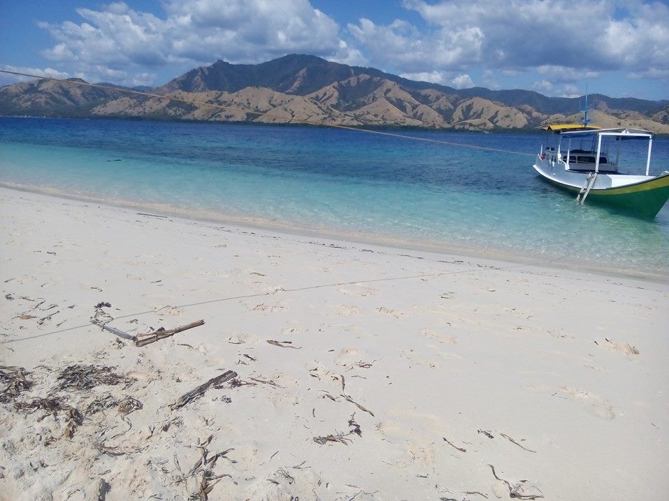
Panoramic view of the Seventeen Islands at sunset.
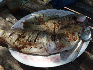
If there is one thing to drop from your Flores itinerary, Riung would be the place. Accessible only via the narrowest and bumpiest of country roads, it is slow pickings to get to. To call even the best accommodation basic is, well, kind. Though the islands themselves are nice enough, I found snorkeling far better in the clear and shallow waters around the islands off the west of Flores (Komodo, Rinca and their ilk). The highlights for me of this segment of the trip were enjoying freshly-caught grilled tuna and snapper, floating and boating on the calm waters of the Savu Sea (known to the locals simply as the South Sea) and witnessing a colony of “flying fox” bats spread their amazing wingspans in the early afternoon. At night, the “backwardness” of the village becomes its best asset as, unfettered by light pollution, the stars in the night sky shine brilliantly and seem deceptively within one’s grasp.
After a seemingly interminable jostling ride which seems more like trailblazing than actually driving on a road, we stop by a rather nondescript patch of dirt. This, explains my guide, is why we’ve gone to all this pain. A short climb later, I find myself enjoying a panoramic vista that is marred only by armies of biting ants that seem to find my ankles particularly attractive targets. Having just seen the sunrise at Kelimutu that morning, there is a certain feeling of completeness that comes over me as I watch that very same sun descend over a completely different place.
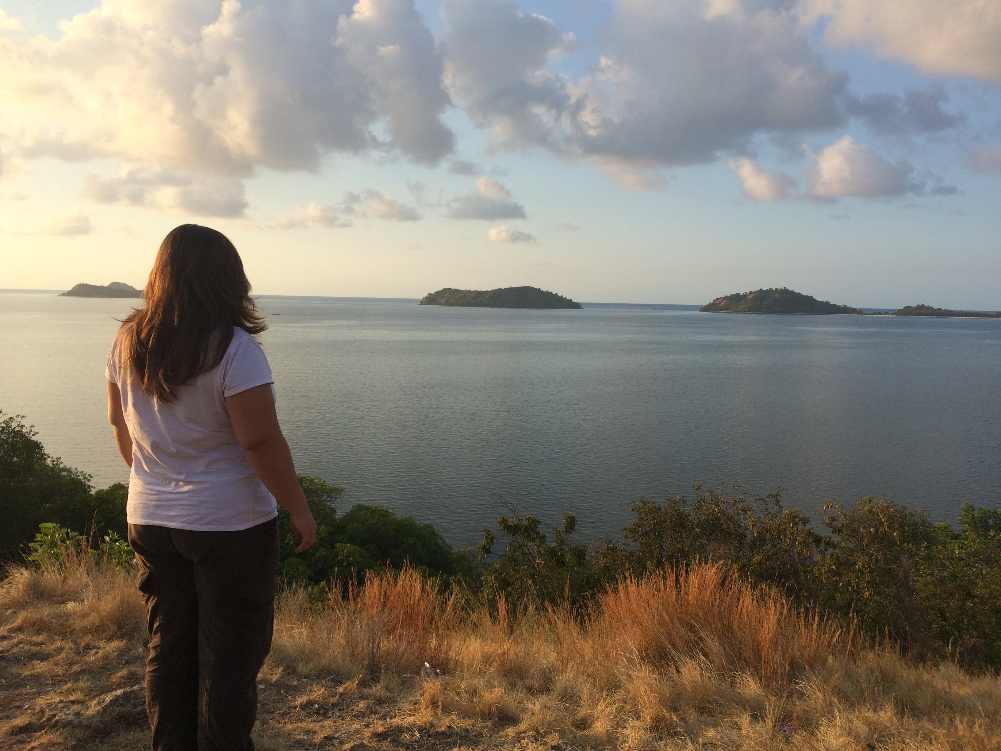
Appreciating the 17 Islands at sunset
As I scan the horizon I find myself fascinated by the frequency with which islands become national exercises in branding and public relations. Take Australia’s Twelve Apostles – stunning rock formations jutting out of the water along Victoria’s Great Ocean Road. Originally called the Sow and Piglets, the limestone outcrops were renamed in the 1920s to be more attractive to tourists. Never mind that there are actually only nine of them!
In a similar fashion, a traveler with far too much time on his/her hands may attempt to count the islands off Riung from the fantastic vantage point where I am standing. Such travelers might be surprised to find their count exceeding 17. Though this might be attributed to an excessive consumption of Bintang or worse, the local Arak palm liquor, the truth is that there are indeed 21 islands in total. However, given that the 17th of August, 1945 marks Indonesia’s independence day, such poetic license may be forgiven.
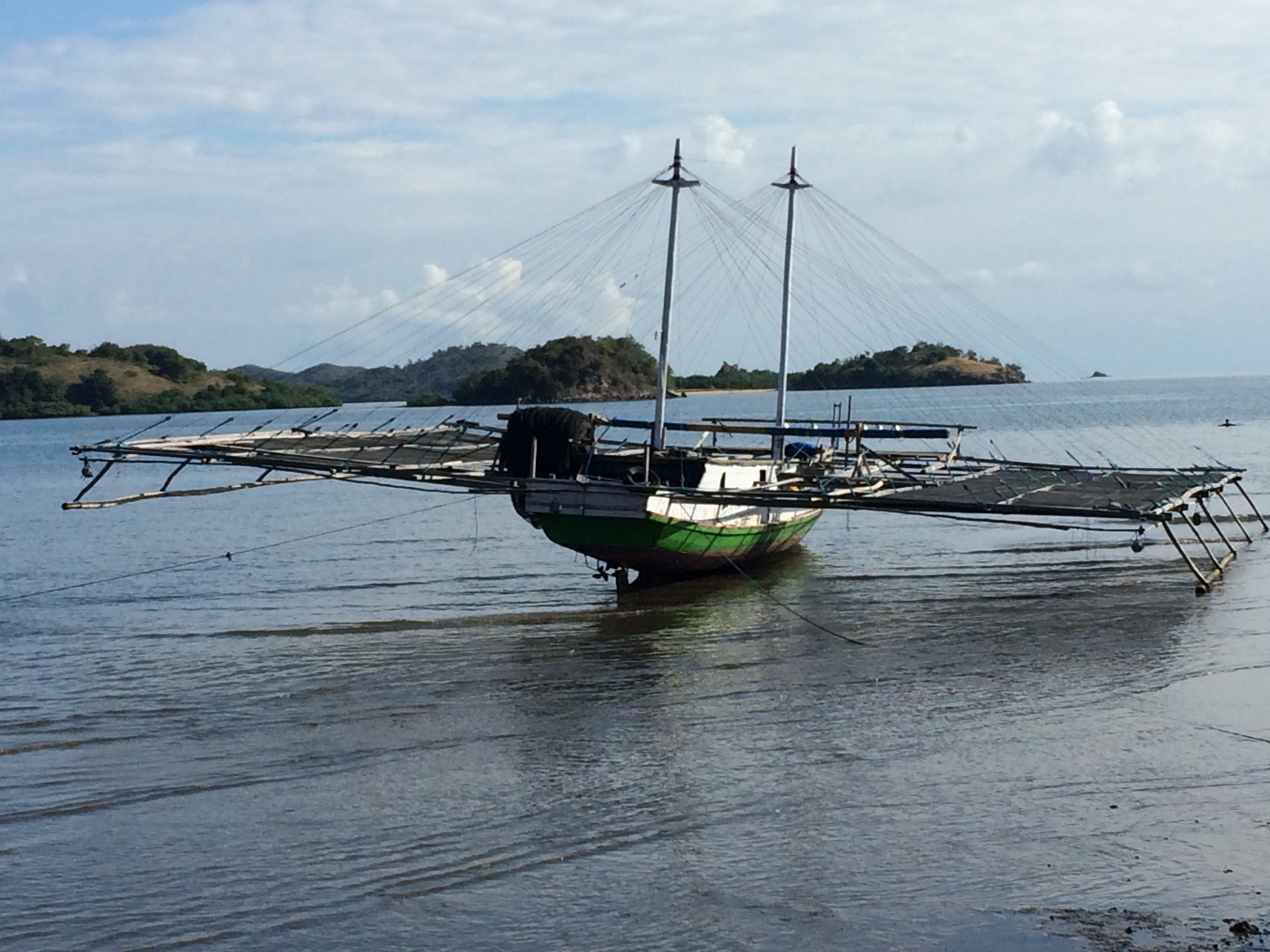
A fishing boat marooned at the harbor during low tide.
The evening passes unremarkably. The next morning we head to the rather grandiosely named “tourist harbor” to board the tiny vessel that will convey us around for the next 8 hours or so. At low tide, the pier looks like a boat graveyard, with fishing boats lolling drunkenly on their sides. Boarding the boat is an interesting experience of its own, feeling almost like a steeplechase meeting an obstacle course. But finally we are all settled in with all of the essentials – drinking water, snorkels and fins, and fresh food and vegetables for grilling later in the day.
While snorkeling abounds, the avid scuba diver may be disappointed to learn that there are no diving outfits or dive masters in Riung. The islands have been afforded marine park preservation status, which is key to maintaining its sensitive ecosystem of some 30 different species of coral as well as colorful fish and playful dolphins.
-
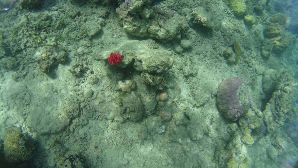
- A rare sighting of a red sea rose, reputed to bring good luck!
-
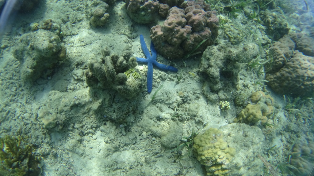
- A vibrant blue starfish
-
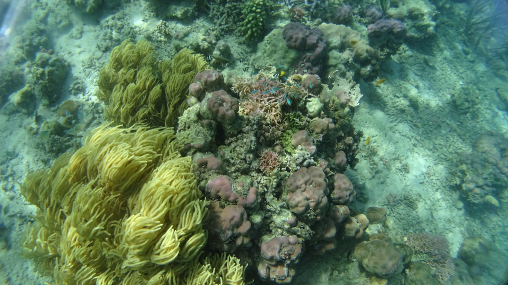
- Tiny blue fish seek shelter in a diverse coral reef
This is the life!
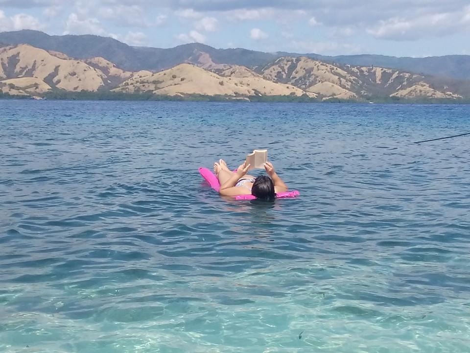
We begin the day at “Pulau Tiga” or “Third Island” (I wonder if all the islands are numbered – and later learn that in fact they’re not. . .) I languidly inflate a floating cushion which serves two purposes – first, acting as a platform for my underwater camera, and second, acting as a platform for me as I float in the sea with a trashy paperback novel. Why do even the most mundane of tasks seem easier and restful on an island?
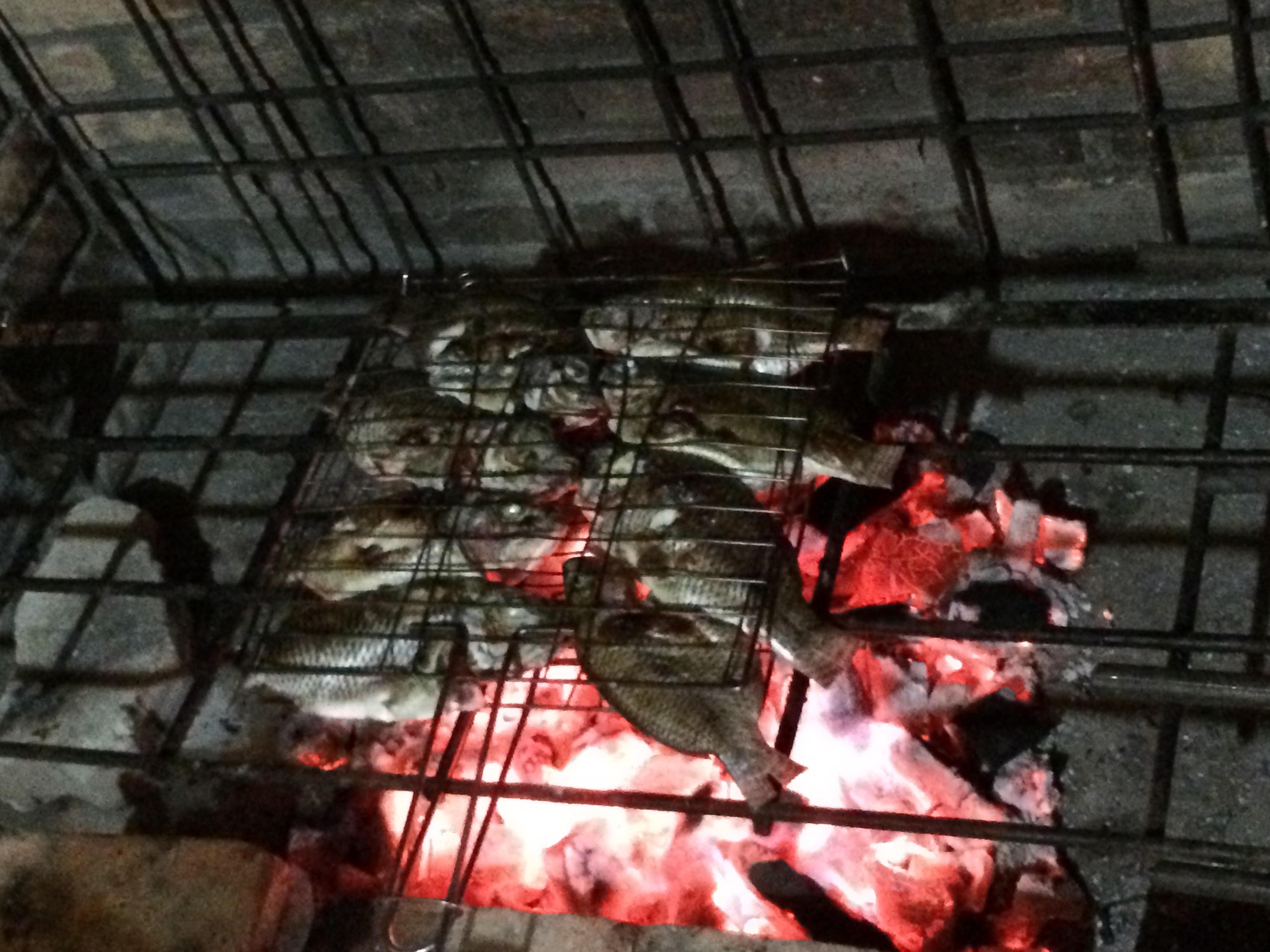
While I am, er, hard at work, my trusty boat crew is engaged in a far more meaningful endeavor — preparing lunch!
-
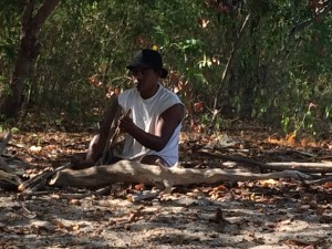
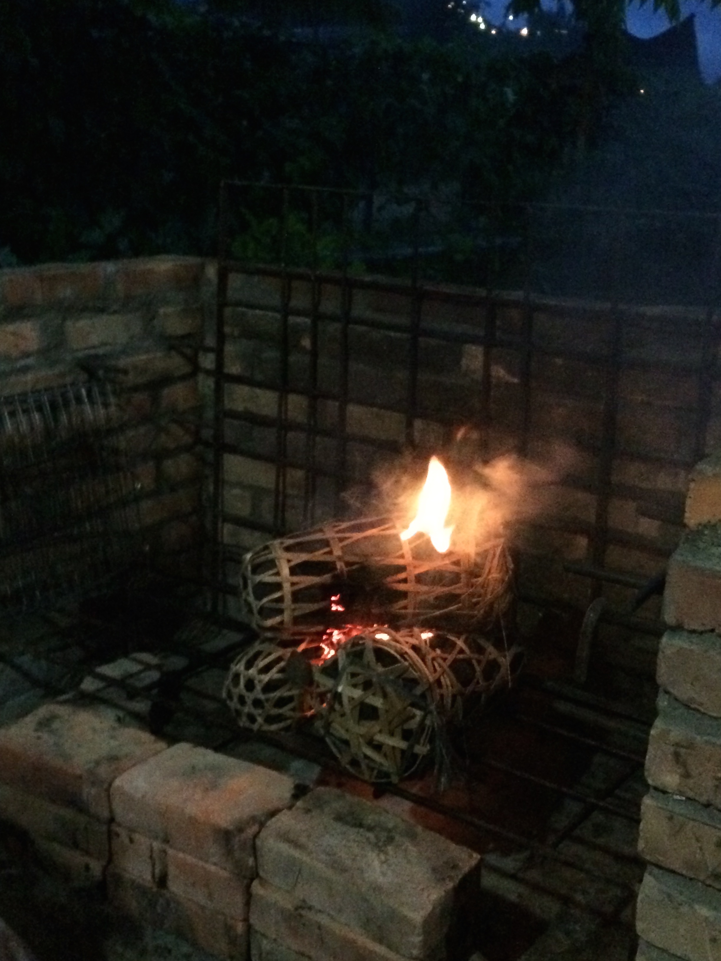
- Starting a fire
-
- Marinating fresh fish — YUM!
Our trusty vessel moored on Pulau Tiga
After stuffing ourselves silly on amazing tuna and snapper, noodles, vegetables and rice, we waddle over to the boat to check out snorkeling opportunities on a couple of other small islands. Unfortunately due to changing tides the waters are a bit cloudy, so we decide to head out to the final two stops of the itinerary.
On Pulau Ontoloe, one of the larger islands, we bump into another group of tourists who are eager to hike up the large hill to enjoy the view. While I like this idea in theory. . . in practice I find that I am too hot and lazy to bother. We play a temporary game of musical guides as Janny takes them climbing, and I lounge and snorkel with the other guide.
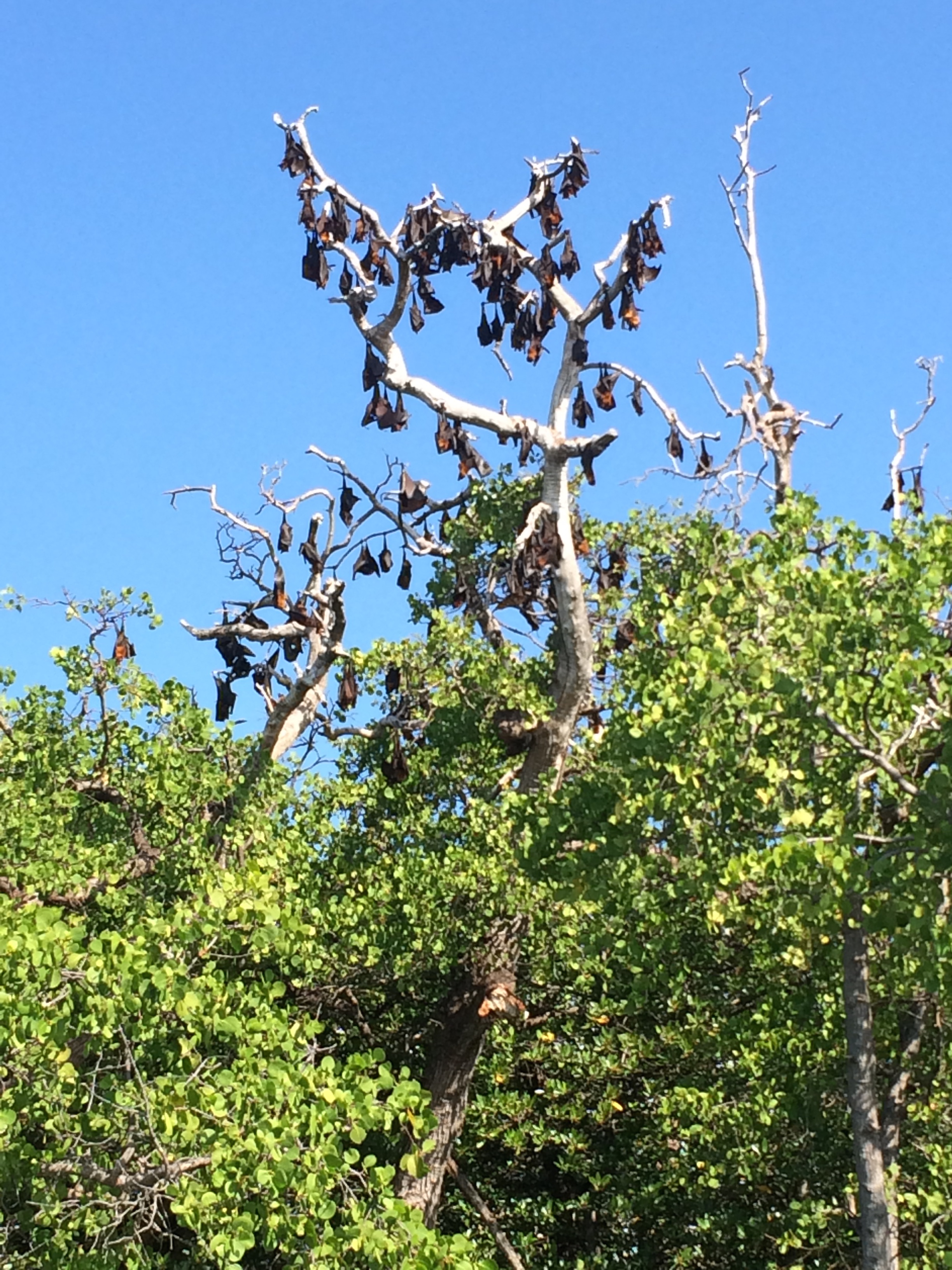
The giant bats at rest initially resemble some bizarre flowering tree from the Addams Family.
My boat then heads for the mangroves of Kalong Island. Having recently experienced the splendor of the exodus of “wrinkle-lipped” bats from the caves at Mulu National Park in Sarawak, Borneo, Malaysia, I find myself skeptical as we approach Kalong Island, which is famed for its colony of “flying fox” bats, also known as “fruit” bats. (Exactly who gives these poor creatures their ridiculous common names anyway?!?) But the experience was unforgettable for a number reasons.
- This bat family comprises the largest bats in the world – and this is readily apparent as you see them soaring overhead.
-
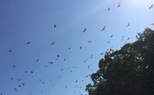
Flying fox bats soaring over mangroves in the late afternoon.
The only other times I’ve seen bats have been at night or in really dark caves. These bats are out and active in broad daylight or else can be found dramatically suspended from trees in the open air.

- Not only could I get a good glimpse of the breadth of the wingspans of these magnificent creatures – they were actually flying close enough that I could see the pumping of their veins through the semi-transparent membranes of these amazing appendages. (Sounds gross in writing, but it was really quite beautiful.) You can also see the distinctly pointed, fox-like noses from which they derive one of their familiar names. (The other, less interesting name, derives from the tropical-fruit based diet of this particular family of bats).
- Every other bat encounter I’ve had has involved significant climbing or tumbling in near pitch blackness. I got to enjoy this whole performance comfortably perched on the hull of my boat. This also meant that I was not jostling with hundreds of other tourists for the “perfect view.”
Finally, as we head back to shore, I am amazed by how exhausting I found a day of doing absolutely nothing. Slightly sunburned but highly satisfied, I head over to Rumah Makan Murah Muriah, pretty much the only decent place to eat in town, and fall into a deep slumber.
Next stop, Bajawa!
Continue onto part five here.